
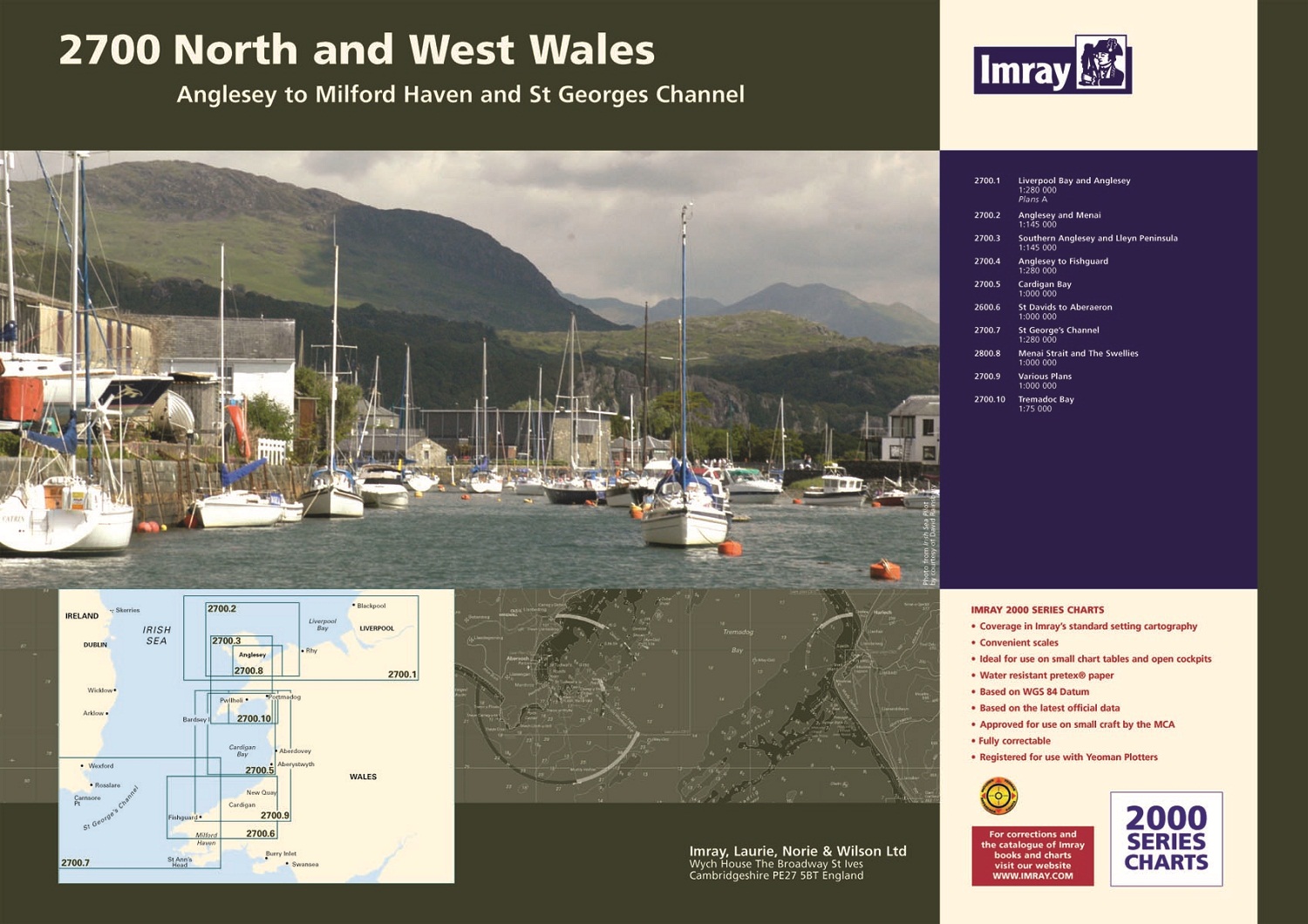

2700 North and West Wales Chart Pack
Anglesey to Milford Haven and St George’s Channel
Imray
A pack of 10 charts covering the North and West coasts of Wales.
In A2 format suitable for small chart tables and compatible with Yeoman plotters.
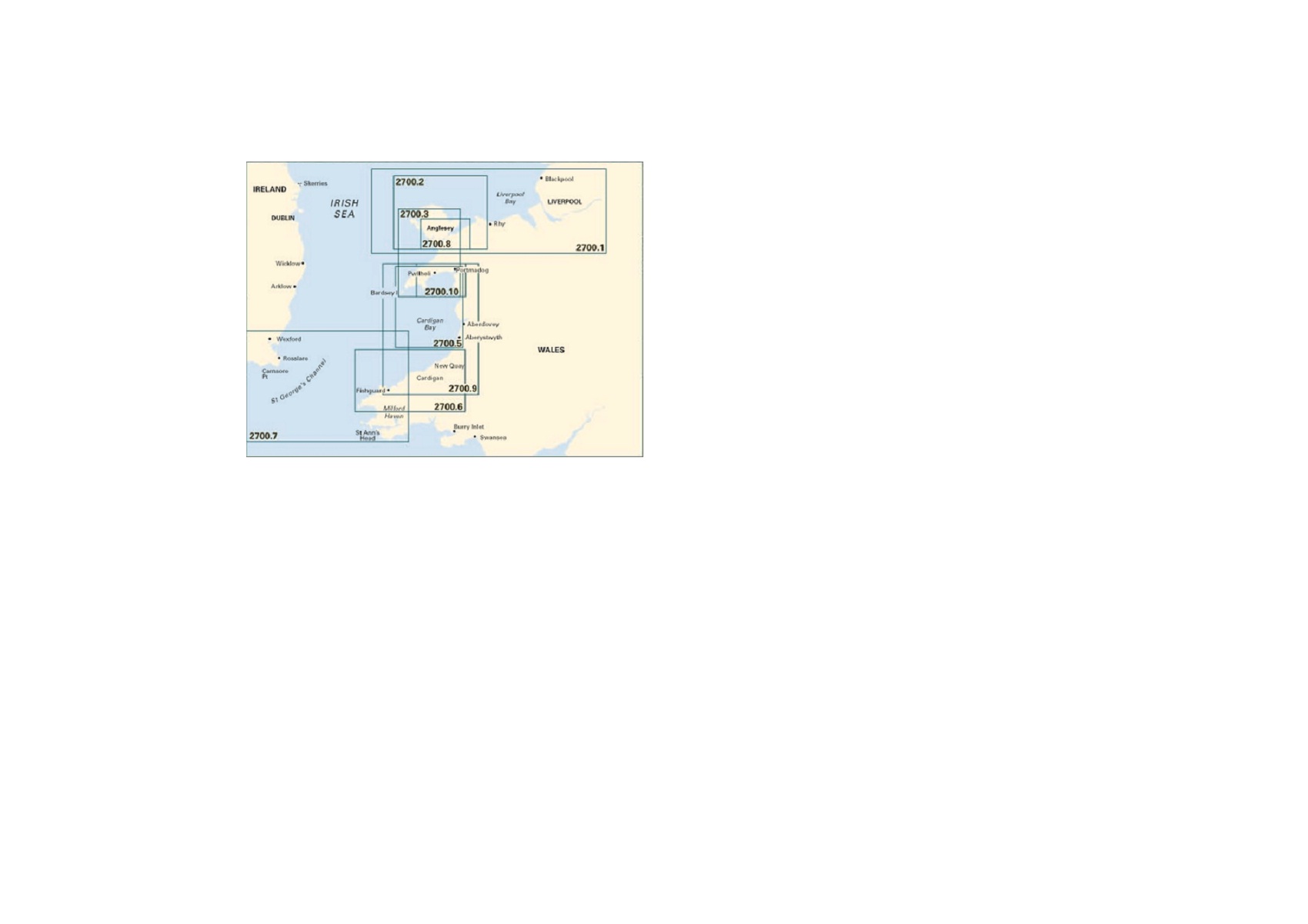
The pack includes:
2700.1 Liverpool Bay and Anglesey 1:280,000
2700.2 Anglesey and Menai 1:145,000
2700.3 Southern Anglesey and Lleyn Peninsula 1:145,000
2700.4 Anglesey to Fishguard 1:280,000
2700.5 Cardigan Bay 1:145,000
2700.6 Aberaeron to St David’s 1:155,000
2700.7 St George’s Channel 1:280,000
2700.8 Menai Strait and The Swellies 1:70,000
2700.9 Cardigan Bay Plans (Fishguard, Aberdovey, Newport Bay, Mocras Lagoon, Aberaeron, Aberporth, New Quay, Aversoch, Pwllheli, Aberystwyth, Barmouth, Porthmadog)
2700.10 Tremadoc Bay 1:80,000
Imray charts set the standard for the leisure sector with award-winning cartography which features their distinctive colour scheme, coloured light sectors and fine overprinted latitude and longitude grids to make plotting easier.
Imray charts are based on up-to-date official surveys and receive continual attention and amendment, to ensure they are always as correct as possible when dispatched.

Reviews
There are no reviews yet.