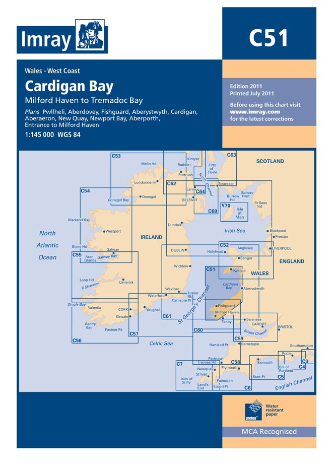
Imray C51 Cardigan Bay Chart

£28.95

Waterproof paper Nearly all Imray charts are printed on Pretex, a partially synthetic paper, which folds well and is durable in damp conditions. It may be drawn on in both soft pencil and ballpoint pen. Imray charts are normally published to an approximately A4 fold format and supplied in robust PVC wallets. Flat sheets are available on request.

Datum and printing history All Imray charts are now based on WGS 84 datum as indicated in the catalogue. Apart from some of the Imray-Iolaire charts of the Caribbean Sea, all are metric. Every chart includes details of the datum and projection on which it was based, to allow it to be used safely with satellite navigation systems. Details of the latest printing and edition dates of charts are available on request.

C51 Cardigan Bay

C charts: 787 x 1118mm (31’’ x 44’’).

Imray charts set the standards for the leisure sector with award-winning cartography which features our distinctive colour scheme, coloured light sectors and fine overprinted latitude and longitude grids to make plotting easier. Our charts, based on up-to-date official surveys, are compiled, drawn and published at our offices in St Ives. Our charts receive continual attention and amendment by skilled staff who monitor corrections to ensure that they are always as correct as possible when despatched.

Scale: 1:140,800 WGS 84

Milford Haven to Tremadoc Bay

Imray

Plans:
Pwllheli
Aberdovey
Fishguard
Aberystwyth
Cardigan
Aberaeron
New Quay Bay
Newport Bay
Aberporth
Milford Haven Entrance

Reviews

There are no reviews yet.

Only logged in customers who have purchased this product may leave a review.

×