
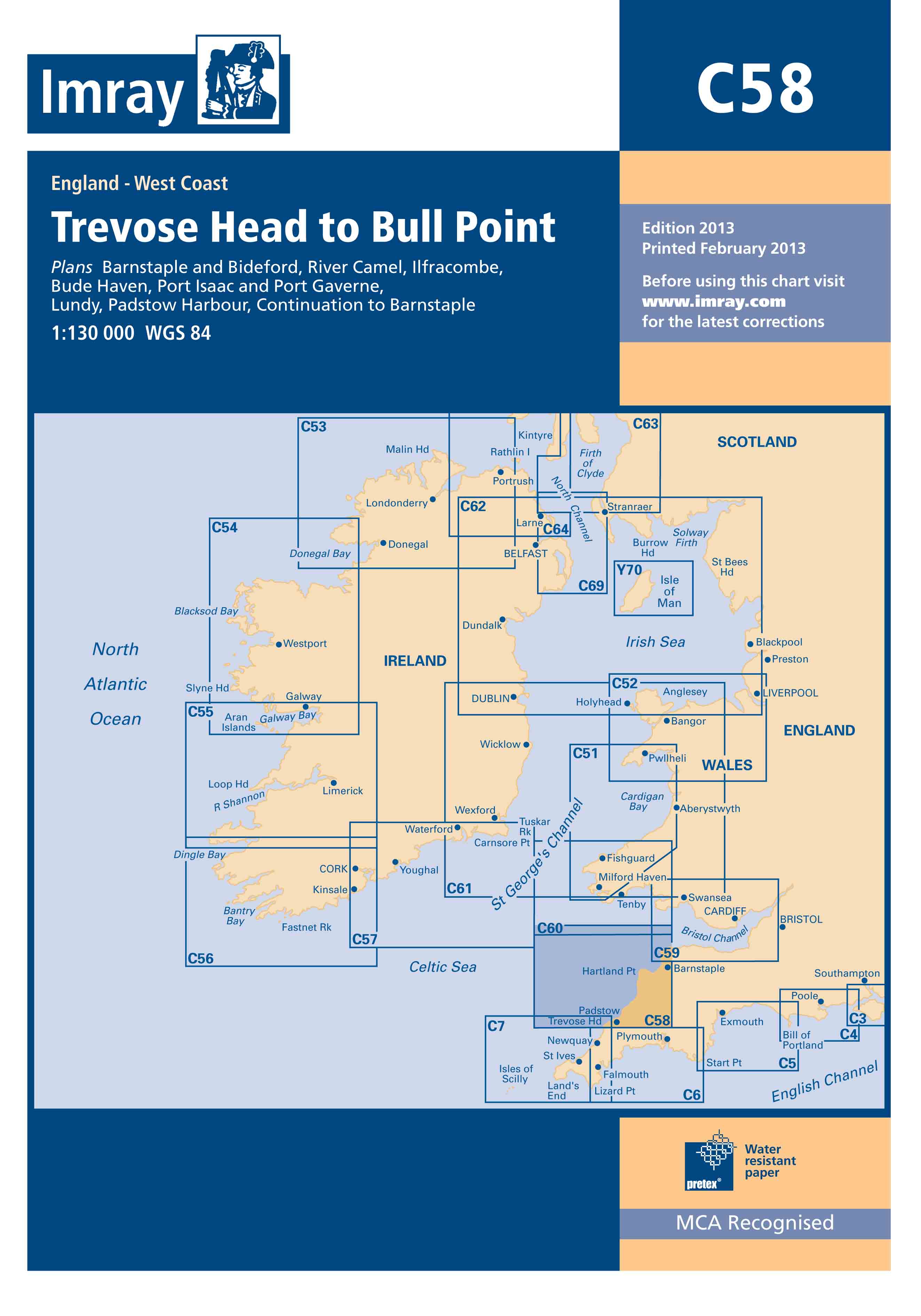

C58 Trevose Head to Bull Point
C charts: 787 x 1118mm (31’’ x 44’’).
Imray charts set the standards for the leisure sector with award-winning cartography which features our distinctive colour scheme, coloured light sectors and fine overprinted latitude and longitude grids to make plotting easier. Our charts, based on up-to-date official surveys, are compiled, drawn and published at our offices in St Ives. Our charts receive continual attention and amendment by skilled staff who monitor corrections to ensure that they are always as correct as possible when despatched.
Scale: 1:130,000 WGS 84
Imray
Plans included:
•Ilfracombe
•Barnstaple and Bideford (plus Continuation to Barnstaple)
•Lundy
•Bude Haven
•Port Isaac & Port Gaverne
•River Camel
•Padstow Harbour
2013 Edition – Fully updated throughout using the latest available depth surveys. Previously unsurveyed stretches of the coastline now show depth data. Revised depths are shown at Ilfracombe, Barnstaple or Bideford Bay, the approaches to Port Isaac, Padstow Bay and coastal waters around Lundy.

Reviews
There are no reviews yet.